
A great alternative to the Crater Rim Walkway between Kennedys Bush and Sign of the Bellbird.
Please check the Summit Road Society website(external link) for track closures and updates in the Ōhinetahi area.

| Start | Opposite Kennedys Bush car park, Summit Road |
|---|---|
| Finish | Junction with Cass Ridge Track |
| Distance | 1.4km |
| Time | 40 minutes one way |
| Toilets | Located at Sign of the Bellbird |
| Dogs | Dogs must be on a short leash |
| Description |
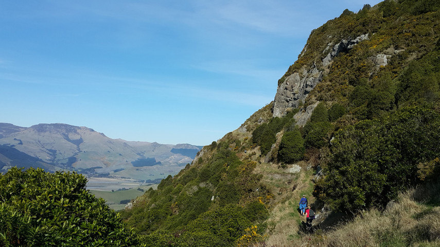
Park at the Summit Road layby opposite Kennedys Bush car park (the third layby on left from Sign of the Kiwi, approx. 1.5km). Take the Crater Rim Walkway heading west for a short distance before joining Ella's Track. From here, the track sidles below volcanic bluffs overlooking Lyttelton Harbour. After passing another junction with the Crater Rim Walkway, the terrain becomes rockier before you emerge at a large open grassy area below the Sign of the Bellbird car park. Continue for a further 10 minutes and you will join the Cass Ridge Track. The tracks in Ohinetahi are managed by the Summit Road Society(external link). You can find maps and more information about the area on their website. |
Walking tracks
Shared use
Connecting tracks
Closed

Parking

Bus stop

Toilets

Water fountains
Accessible tracks

Challenging feature

Entry and exit point

Point of interest
Related news

Council fixes te reo Māori signs
It’s time to say haere rā to incorrect spelling of te reo Māori signs at Christchurch and Banks Peninsula parks.
16 Sep 2026
Recognising guardians of the land
Paul Tamagushiku has protected, nurtured and cared for Christchurch parks for 38 years – earning him the title of the Council’s longest standing ranger.
31 Jul 2026
Ready, set, play! Exploring our city's playgrounds
Get the kids outside these school holidays and check out some of the great playgrounds around the city.
13 Jul 2026