
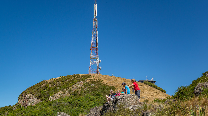
Sugarloaf/Te Heru o Kahukura (the headcomb of Kahukura) is a Port Hills landmark. The peak is topped by a 120m television transmission tower. Three tracks high on its slopes can be linked to create an excellent loop.
| Start | The Sign of the Kiwi, Dyers Pass Road, Port Hills |
|---|---|
| Finish | Same as the starting point |
| Distance | 2.4 km |
| Time | One hour return |
| Toilets | Located at the Sign of the Kiwi |
| Dogs | Must be kept on a leash |
| Description |
Mitchells Track (part of the Crater Rim Walkway) is one of the most accessible bush walks from the city. The track starts across Dyers Pass Road from the Sign of the Kiwi. A short distance up you take a right turn and sidle Sugarloaf on its Lyttelton Harbour side. The track passes through a diverse forest dominated by mahoe, five fingers, tree fuchsia and kanuka. Several open rock outcrops offer broad views across the harbour. When you arrive at a signposted junction, choose Cedrics Track. The path heads northwest as it climbs and sidles Sugarloaf through tussock grassland. There are stunning views overlooking the city and Pegasus Bay. Cross the Sugarloaf car park to resume the walk and descend to the Sign of the Kiwi. Another option is to return to the Sign of the Kiwi through native bush on the Lyttelton Harbour side of Sugarloaf via Gilpins Track. Pick up Gilpins Track a short distance along Cedrics Track after turning off Mitchells Track. |
Related news

Council fixes te reo Māori signs
It’s time to say haere rā to incorrect spelling of te reo Māori signs at Christchurch and Banks Peninsula parks.
16 Sep 2026
Recognising guardians of the land
Paul Tamagushiku has protected, nurtured and cared for Christchurch parks for 38 years – earning him the title of the Council’s longest standing ranger.
31 Jul 2026
Ready, set, play! Exploring our city's playgrounds
Get the kids outside these school holidays and check out some of the great playgrounds around the city.
13 Jul 2026