
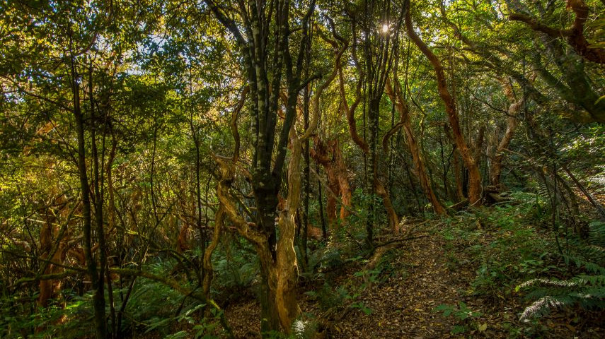
Descend through a forest of giant tree fuchsia and valley rich with ferns, lichens and regenerating forest.
Please check the Summit Road Society website(external link)(external link)(external link) for track closures and updates in the Omahu Bush area.

| Start | 200m past the Gibralter Rock car park on Summit Road, Port Hills |
|---|---|
| Finish | Junction with Prendergasts Track |
| Distance | 1.6 km |
| Time | 50 minutes one way, 90 return via Prendergasts Track |
| Dogs | Dogs are prohibited from Omahu Bush |
| Description |
From the Gibraltar Rock car park, follow the Summit Road for 200m towards Gebbes Pass to the top of Kirks Track. Descend through a forest of giant tree fuchsia to the junction with Rhodes Track. Cross Rhodes Track and go through the deer fence gate. Kirks Track then continues downhill through a valley rich with ferns, lichens, and regenerating forest. After 800m, reach the junction with Nelsons Track. Turn right to stay on Kirks Track, where you’ll soon find a grove of towering kahikatea and matai trees. This section also hosts numerous totara and matai seedlings, thriving as the forest regenerates after pest removal in recent years. At the junction of Kirks Track and Prendergasts Track, turn right and follow Prendergasts Track uphill, returning to the car park for a 90-minute walk. |
Walking tracks
Shared use
Connecting tracks
Closed

Parking

Bus stop

Toilets

Water fountains
Accessible tracks

Challenging feature

Entry and exit point

Point of interest
