
A reasonably steep climb, but with excellent views of the Canterbury Plains.
Please check the Summit Road Society website(external link)(external link)(external link) for track closures and updates in the Omahu Bush area.

| Start | Gibraltar Rock car park |
|---|---|
| Finish | Kirks Track junction |
| Distance | 1.3 km |
| Time | 60 minutes one way, or 90 minutes as a loop with Kirks and Rhodes Tracks back to the car park |
| Dogs | Dogs are prohibited from Omahu Bush |
| Description |
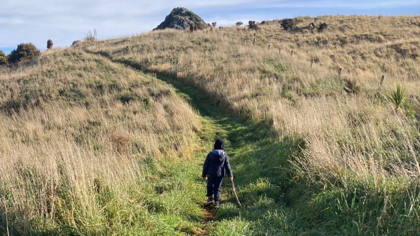
From the Gibraltar Rock car park, follow Prendergasts track a short distance to the track map and the deer fence gate. Go through the deer fence gate and continue straight ahead initially uphill and then down for 20 minutes. This track is steep in places but offers stunning views out over the Canterbury Plains. You can also divert off to see Gibraltar Rock or the historic stone wall. |
Walking tracks
Shared use
Connecting tracks
Closed

Parking

Bus stop

Toilets

Water fountains
Accessible tracks

Challenging feature

Entry and exit point

Point of interest
