
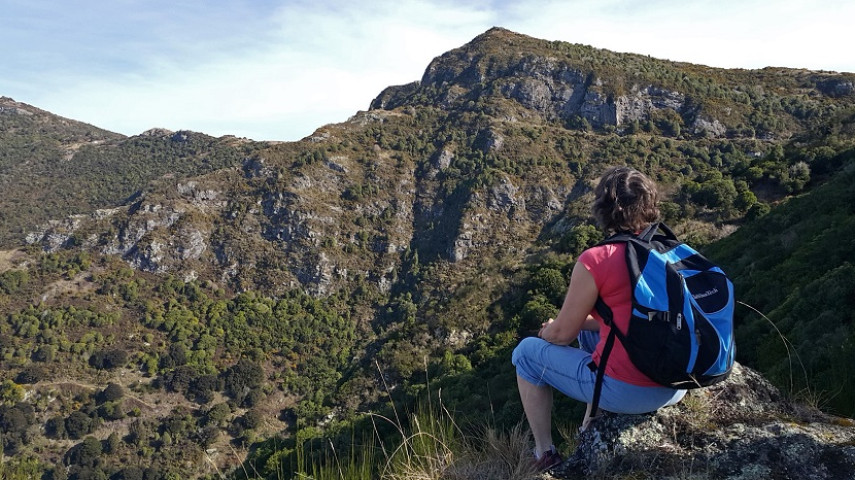
A steep zig-zagging track between the Summit Road and the lower slopes of Ohinetahi Reserve. Enjoy the views!
Please check the Summit Road Society website(external link) for track closures and updates in the Ōhinetahi area.

| Start | Summit Road layby opposite Kennedys Bush car park |
|---|---|
| Finish | Junction with O'Farrells Track |
| Distance | 1km |
| Time | 45 minutes one way |
| Toilets | Located at Sign of the Bellbird |
| Dogs | Dogs must be on a short leash |
| Description |
Park at the Summit Road layby opposite Kennedys Bush car park (the third layby on left from Sign of the Kiwi, approx. 1.5km). Take the Crater Rim Walkway heading east for five minutes where you'll reach the marked junction with Bush Road Track. With great views of the forested gullies, impressive volcanic bluffs and harbour, the track zig-zags tightly down the ridge to reach the bushy part of O’Farrells Track. The tracks in Ohinetahi are managed by the Summit Road Society(external link). You can find maps and more information about the area on their website. |
Walking tracks
Shared use
Connecting tracks
Closed

Parking

Bus stop

Toilets

Water fountains
Accessible tracks

Challenging feature

Entry and exit point

Point of interest
Related news

Recognising guardians of the land
Paul Tamagushiku has protected, nurtured and cared for Christchurch parks for 38 years – earning him the title of the Council’s longest standing ranger.
31 Jul 2026
Ready, set, play! Exploring our city's playgrounds
Get the kids outside these school holidays and check out some of the great playgrounds around the city.
13 Jul 2026
Future of Apollo Projects Stadium site to be decided
With One NZ Stadium up and running, it’s time to decide what to do with the temporary stadium and infrastructure.
8 May 2026