
Christchurch bike map

There are now more than 75km of cycleways, which make getting around by bike way safer and easier for everyone.

Discover new connections with the bike map

To see public bike parking spots on the map below, select cycle stands from the list of map layers.

Subscribe to our seasonal cycling newsletter and keep up to date

Our major cycleways network is designed to be a safe and convenient option to get people on bikes to where they want to go. The cycle routes are a mix of one- and two-way separated cycleways, shared paths, and neighbourhood greenways along quiet low-speed streets.

Nine of the 13 planned cycleways are now open for you to ride. 

Open cycleways

  • Papanui Parallel: Puari ki Papanui cycleway connects the Northern Line Cycleway, Northlands Mall, Papanui and St Albans to the Central City.
  • Rapanui-Shag Rock: Puari ki Rapanui cycleway connects Sumner via the Christchurch Coastal Pathway to Central City, passing through Linwood.
  • Heathcote Expressway: Puari ki Kahukura cycleway connects Heathcote with the Central City via Woolston and Waltham.
  • Quarryman's Trail: Puari ki Otūmatua major cycle route connects Halswell to the Central City via Hoon Hay, Spreydon and Somerfield.
  • Little River Link: Puari ki Wairewa cycleway connects Wigram, Sockburn, Middleton and Addington to the Central City, and connects with the Little River Rail trail for those wanting a recreational ride further afield.
  • Uni-Cycle: Puari ki Pū-taringa-motu cycleway connects Ilam and the University of Canterbury to the Central City, via Mona Vale, Pūtaringamotu / Riccarton Bush and North Hagley Park.

Partially open cycleways

  • Northern Line (open Kilmarnock Street to Northwood): Puari ki Pū-harakeke-nui Northern Line cycleway connects Northwood, Northcote, Casebrook and Papanui to Riccarton and Hagley Park with a shared path that runs alongside the Northern Line railway corridor.
  • Nor'West Arc (open Cashmere to Jellie Park): Te Ara O-Rakipaoa cycleway connects Princess Margaret Hospital to Bryndwr, via Spreydon, Middleton, Riccarton and Ilam.
  • South Express (open City to Hornby): Puari ki Niho-toto South Express cycleway currently connects Kyle Park in the west to Central City, via Hei Hei, Riccarton Park, Upper Riccarton and Riccarton.

Planned cycleways

  • Puari ki Te Karoro (New Brighton to City) Route (planned): Once built, Puari ki Te Karoro cycleway will connect New Brighton to the Central City.
  • Southern Lights (planned): Once built, Puari ki Waimōkihi cycleway will connect the southern suburbs around Beckenham to Central City.
  • Ōpāwaho River Route (planned): Once built, Ōpāwaho ki Ihutai cycleway will connect Ōpāwaho Heathcote River near Princess Margaret Hospital to the estuary at Ferrymead.
  • Wheels to Wings (staged approach): Visit the Wheels to Wings page(external link) for more information about the Wheels to Wings Papanui ki Waiwhetū cycleway.

Find more information on the different cycleways(external link).

Open shared path connections

  • Christchurch Northern Corridor: This shared path connects the Papanui Parallel cycleway to Mairehau, Redwood, Northwood and Belfast and over the Waimakariri Bridge to reach Kaiapoi
  • Te Ara Ihutai Christchurch Coastal Pathway: connects to the Rapanui Shag Rock cycleway at the Ferrymead Bridge, taking people along the causeway to Redcliffs to Sumner.

Partially complete shared path connections

  • City to Sea shared pathway (open from Barbadoes St to Avon Park): A shared-use pathway that travels through the heart of the Ōtākaro Avon River Corridor.

A learn-to-ride track is a specially designed bike track that helps children learn how to ride a bike in a safe, controlled environment.

It often includes road markings, signs, and gentle features so kids can practice basic cycling skills while learning road rules and safe riding habits.

A school track is a purpose‑built bike track located on school grounds, designed to help children safely develop balance, coordination, and confidence.

These tracks often include smooth surfaces, gentle slopes, and wide turns, allowing children to practise riding skills in a fun, low‑risk, and familiar environment.

Some schools in Christchurch already have bike tracks, and the wider community is welcome to use them outside of school hours. 

Please remember:

  • Tracks are the property of the schools – enjoy them respectfully.
  • Follow any signage or rules displayed at the site.
  • Wear a helmet, check your bike is safe, and ride carefully.


Cycleway


Cycle lane


Shared path


Shared zone (10-20km/h street)


Te Ara Ōtākaro Avon River Trail


Parking square 100x101

Cycle stand


Parking square Pink100x101

Locky Dock


car park building map square

Undercover cycle stand


Avon River Rua pointer 85x125

School bike track


Pukeko Tahi pointer 85x125

Learn to ride bike track


Related news

Upgrade makes school cycling safer

Students of Te Aratai College will soon be connected to two major cycleways – Rapanui-Shag Rock and the Heathcote Expressway.

22 Jul 2026
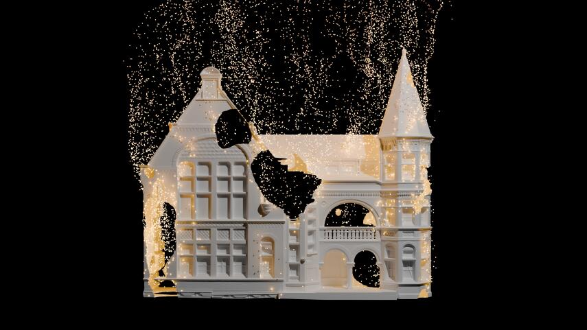
Take a spectral journey to southern places at Tātai Whetū, Tātai Tangata

A new moving image projection and sound work on the former Municipal Chambers building will explore journeys past and present – including that of the building itself.

6 Jul 2026

Christchurch’s Electric Avenue sets new records

Australasia’s biggest music festival has broken its own record for the largest visitor spend of any Christchurch event this decade.

15 May 2026